GEOSPATIAL & WILDLIFE INTELLIGENCE
BUCKVECTOR
Geospatial intelligence. Engineered for the field.
A specialized geospatial AI platform combining terrain, habitat, environmental data, and wildlife research to support intelligent property analysis.
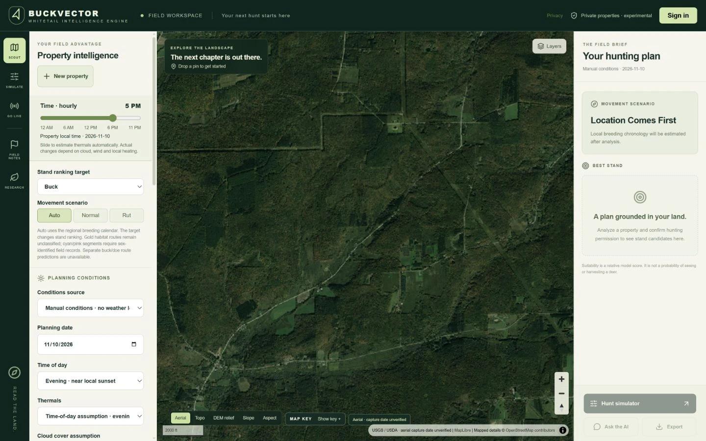
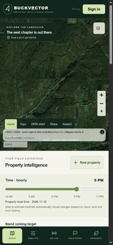
Actual public website screenshots. Captured November 10, 2026.
THE OPPORTUNITY
A clear purpose.
A considered solution.
The challenge
Understanding a property means bringing its terrain, habitat, and environmental context together rather than examining isolated data layers.
The approach
BuckVector applies specialized intelligence to property analysis, connecting geographic information with environmental context and wildlife research. The project illustrates domain-specific software engineering.
Capabilities
- Terrain & habitat analysis
- Geospatial data integration
- Environmental context
- Wildlife research workflows
- Property-specific analysis
- Spatial visualization
Live public website at buckvector.com. Screenshots show the actual field workspace. No hunting prediction accuracy or scientific validation is claimed.
View the source websiteLET’S BUILD SOMETHING THAT MATTERS
Your vision.
Engineered.
Start your projectServing Buffalo, Western New York, and ambitious businesses everywhere.